For the most part travel in the Gulf of Mexico while doing the Great Loop is in protected waters. The Gulf Intracoastal Waterway (GIWW) is a series of rivers, canals and channels behind barrier islands. It stretches from Brownsville Texas to Naples Florida. There are some sections where the channel crosses more open water like Mobile
We will return to the boat early in January and in the first week or two will cruise the Upper Gulf Coast. It covers 350 miles of Florida from Pensacola/Perdido Bay to Tarpon Springs. There are two distinct cruising regions: the Florida Panhandle coastline that offers protection through barrier islands with white sandy beaches and the Big Bend/Nature Coast which showcases swampy marshland and beautiful wilderness terrain.
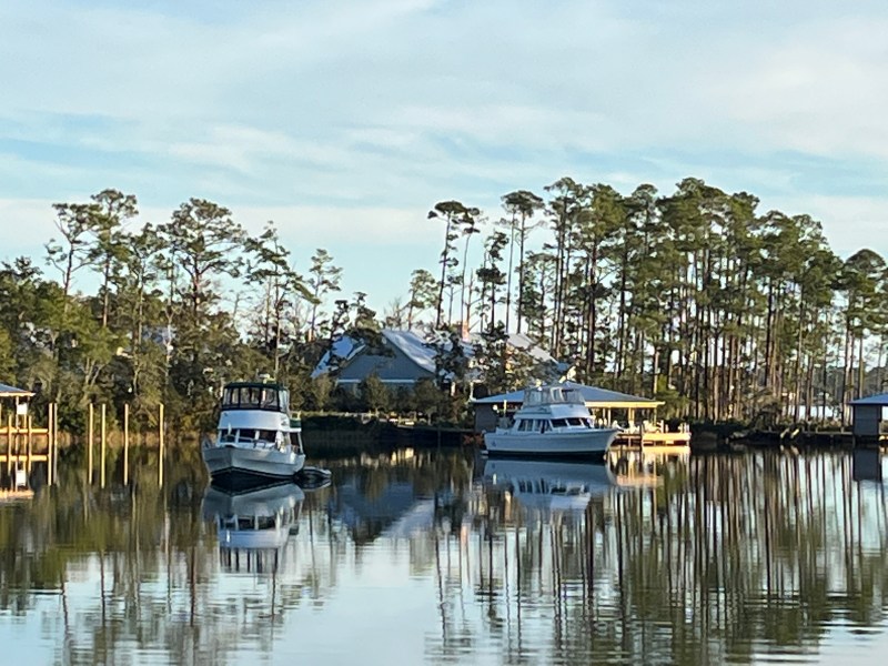
The Florida Panhandle includes Pensacola, Destin, Carrabelle and Apalachiacola where there are a number of marinas and the occasional free dock to stop and explore the communities. There are also a lot of anchorages in bayous (bays) or along the barrier islands.
There is a break in the GIWW at the eastern end of the Panhandle. We will have to decide whether to follow the Big Bend Route that hopscotches along the coast from Apalachiacola to Steinhatchee, to Cedar Key, to Chrystal River (manatee preserve) and Tarpon Springs or make an overnight crossing from Apalachiacola direct to Tarpon Springs. The Big Bend Route (~214 miles) stays within 20 or 30 miles of shore, and the Gulf Crossing (~170 miles) requires an open water crossing.
In either case, crossing the gulf requires planning and good weather. The Big Bend route is shallow and requires a minimum of 3-4 days of good weather. The direct crossing requires 48 hours for boats like Moon Dance that travel around seven knots.
There are a number of resources that can be monitored to help make the decision. A volunteer for the Great Loop Cruisers Association (AGLCA) sends out an email during the crossing season from November to March summarize weather forecasts and identifies go and no go days. Marv’s Weather Reports provides information on wind direction and wave heights. There are for-fee services like Chris Parker’s available as a subscription or single trip reports. The Windy app is my go to for weather wherever we are. The American National Weather Service of course is the primary source of all weather information and should be included in the process. We will also have to consider tide and current tables published by NOAA. Especially on the Big Bend route where the water is shallow.

Soooooo you’re on your way to Apalaciacola F L A. Just watched Hope and Crosby sing about it….I’m so old
LikeLike
John will probably know that song.
LikeLike