There is a Facebook group devoted solely to navigation on the intra-coastal waterway: ICW Cruising Guide by Bob423. Boaters travelling up and down the east coast using the ICW share information on bridge heights and channel depths and anything else that helps to navigate the challenging sections.
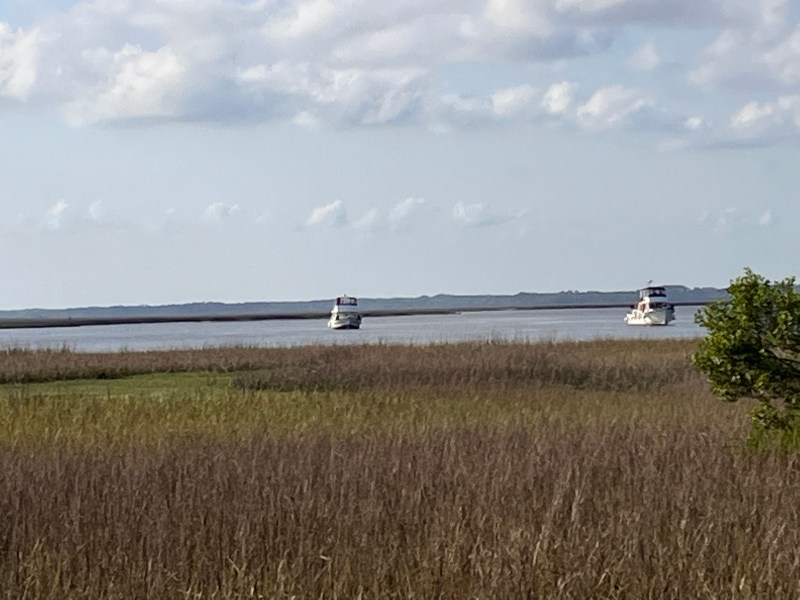
As we travelled north from Beaufort (pronounced Bew-fort), we headed towards one of the trickier sections in South Carolina. The trip would take us to the Ashepoo-Coosaw Cutoff, one of the man made channels that shortens the route and avoids a section of river that approaches the ocean. It is shallow and is known to shoal .
The cutoff has featured prominently on Bob423 in recent days because a dredge is working in the channel. It is apparently a cable dredge meaning its tools are controlled by cables that cross the channel. The protocol is to radio the dredge who will lower the cables and tell you when to cross. One unfortunate boater either mis-understood or possibly the wind pushed the dredge tightening the cables and bringing them back to the surface. In any case, the pleasure craft ended up with 50 feet of steel cable entwined in his two propellers. Others have reported suddenly finding themselves in three feet of water. We draft 3’8”.
We could see the dredge working in the channel as we approached and opted to take the longer route down to the coast then back up another river. The image below shows our route in green and the faint red line traces the cutoff. Going this way added about an hour to our travel time. We benefited from a three mile an hour push as we went down but heading north on the other river was into the current and dropped our speed by two miles an hour. We thought it well worthwhile to avoid the risk of running aground.

Our reward was a nice quiet anchorage with our buddy boat Chipmonk – carrying fellow Canadians Steve and Dodie.
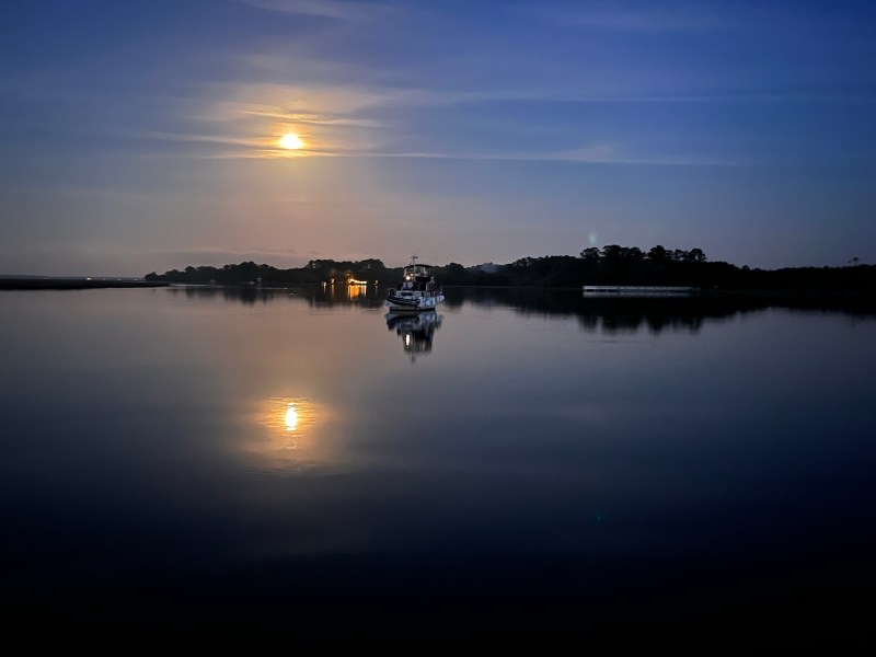

Beautiful spot.⚓️⚓️
LikeLiked by 1 person
Great pics!
LikeLiked by 1 person