We could not have asked for a better day. We planned a short cruise to Reedville to stage for crossing the Potomac River. Even from there it is a long day to cross the mouth of the Potomac River and reach Solomons Island. This crossing is known for being unpredictable and for re-organizing the contents of your boat.
Last night saw high winds from Titusville FL through to at least Broad Creek where we were. This caught everyone off guard as only one out of seven or eight weather sources predicted it. I had seen something a few days earlier that made me pick that particular marina, but it had disappeared from the overnight forecast. Even a fellow who has been crabbing here for 30 years missed it. He went out overnight to pull his pots and reset. However, the sea state was so bad they had to come in with “their asses handed to them”. We planned to set out around noon to let things calm down.
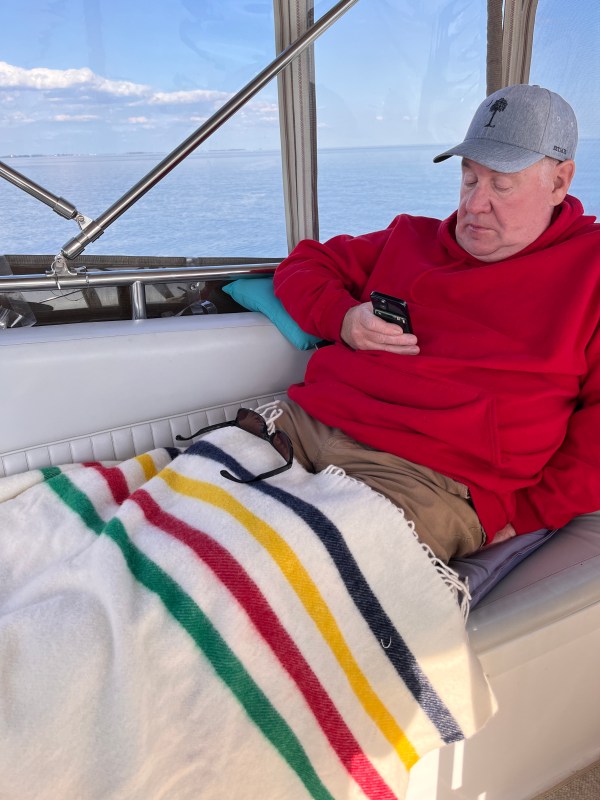
Broad Creek enters the Rappahannock River where it joins Chesapeake Bay. It was a little rough. We were okay but had to tranquilize Rocco again. The motion and noise upsets him. I checked the weather buoys and was surprised to see the Potomac buoy was measuring waves less than a foot. Incredible!
Some discussion ensued. In the end, we decided to bypass our planned destination south of the Potomac to go further and check the conditions for ourselves. The tide (rising) and a wind direction (east) similar to the current matched the conventional wisdom for this crossing so we adopted “Plan B”
Our chart plotter made a course to Solomon Island. The software always selects the shortest route; cutting sharply around corners. Remembering our experience several days before with the rough seas at the mouth of the York River, we decided to stand off further. This was confirmed by a volunteer with the Power Squadron. She said she goes out and looks at the corner. If she doesn’t like the look she stands off further. If she still doesn’t like the look she turns around.
The weather buoy was still saying 6 inches but as we approached the river mouth the seas started to build. We continued on tentatively; ready to turn back. We were around the bar at the river mouth within 20 minutes. We saw waves about 2-2 1/2 feet high. Not enough to abandon “Plan B”. We did have a strong current pushing on our starboard side as the boat was crabbing by close to 20 degrees.
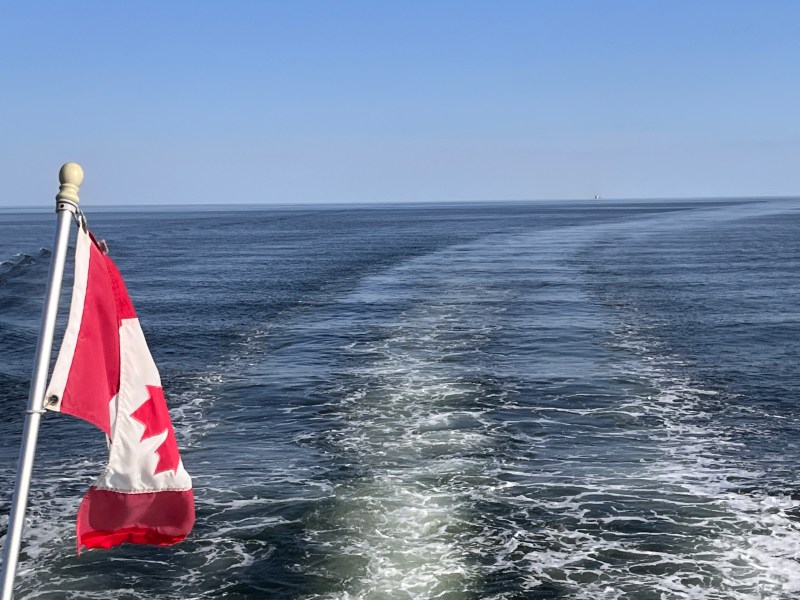
This crossing deserves all the respect people give it and should definitely be approached with caution. There are thousands of boaters on the Chesapeake and based on those we have spoken too, I suspect a large proportion have never tried crossing the mouth of the Potomac River. Stories abound of people who encountered large confused waves and totally re-organized the contents inside their boat – sailboats included. It doesn’t seem to matter whether you choose the eastern shore or the western shore as we did. Both are unpredictable.
Once around the corner, everything calmed down. Very peaceful cruising except for a bunch of drift nets in 60 feet of water about half way across the river. It was chilly though.

Sounds scary and exciting!
LikeLiked by 1 person
Hi you two, I am catching up on your posts looking at Google Maps at the same time following your sailing route , I would love to see your actual journey ‘tracker; —is there such a thing you could share with your followers?
Cheers, Katherine Life is about Moments: Don’t wait for them, Create Them
LikeLike