Delaware Bay is the estuary outlet of the Delaware River on the northeast seaboard of the United States. It separates the states of Delaware and New Jersey. It is funnel shaped. Narrow near Delaware City, it quickly widens to include approximately 782 square miles. It is more than 25 miles across at its widest and completely open to swells generated in the Atlantic Ocean. Boaters travelling down (or up) the bay wait until the wind and current match direction. Otherwise a very rough ride can be expected.
There is a long-standing rule of thumb for managing the currents in Delaware Bay which has worked for boats which run 6-8 knots. Plan to exit the east end of the C&D about 2 hours before flood slack. We followed this rule – almost as we waited an hour for fog to lift. We had the current against us but but the speed was dropping. It was possible to get out of the channel in places and pick up 0.25 to 0.5 knot back eddy of favourable current.
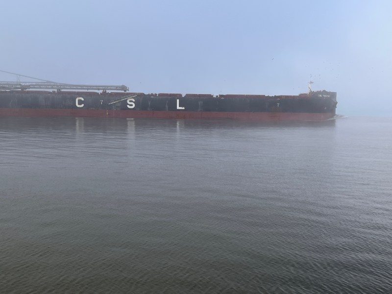
The bay is one of the most important navigational channels in the United States; it is the second busiest waterway after the Mississippi River. Another good reason to get out of the channel. No one wants to tangle with these guys. They tend to be somewhat pissed to find pleasure craft occupying the centre of the “rhode”.
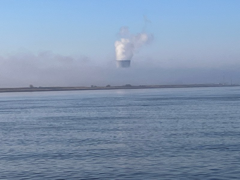
The fog lifted after an hour or so of playing peekaboo, the tide eventually turned and carried us down to Cape May. It was glorious and calm.
You can subscribe to this blog and will receive an email whenever a new post is uploaded.

Finally I have time to relax and catch up on your posts. I love your detailed factual updates!
LikeLike