46°33′32″N 84°20′49″W
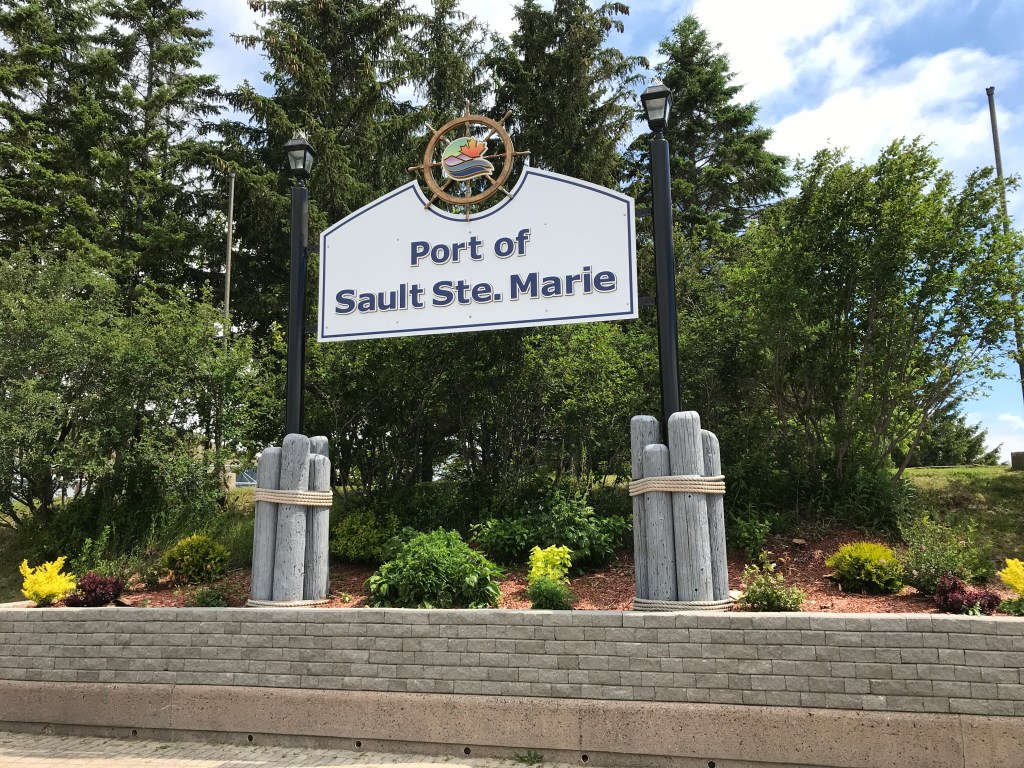
One of the three largest cities in Northern Ontario. Sault Ste. Marie is located on the St. Mary’s River that links Lake Huron, Lake Superior and Lake Michigan. We spent a week there and are looking forward to going back when it in not a pandemic.
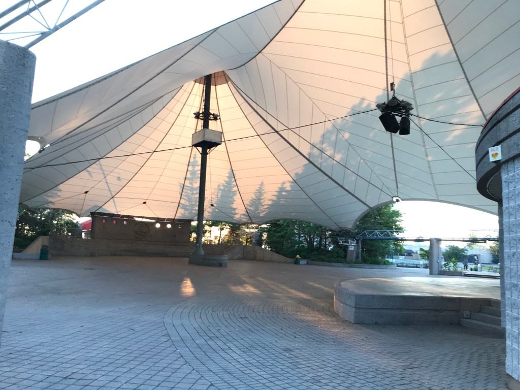
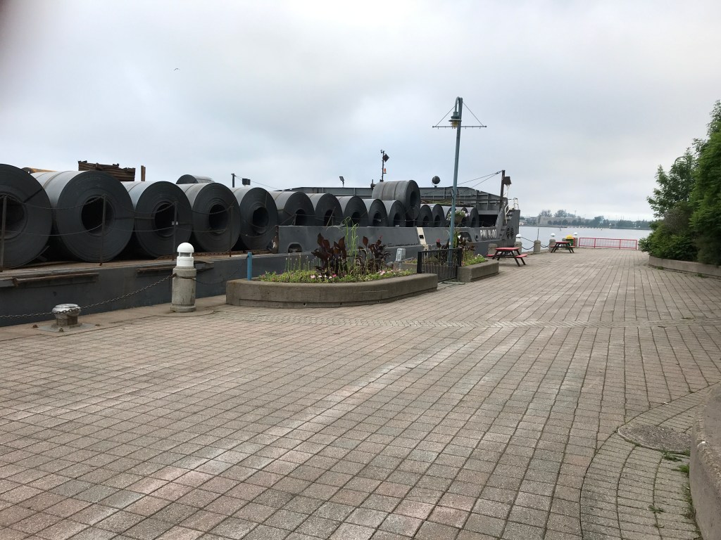
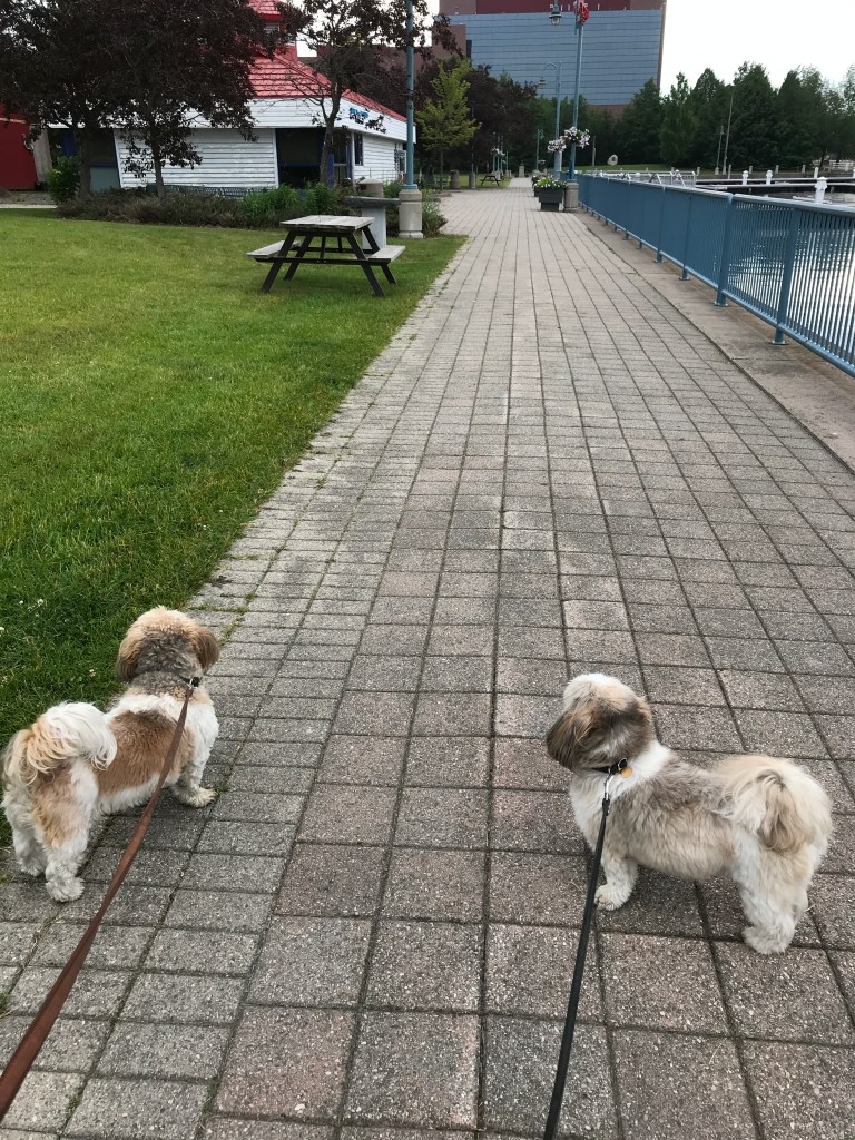
We berthed at Roberta Bondar Marina – how nice to see a community honouring its own – a beautiful spot right in downtown. The marina is part of a complex featuring a park and outdoor venue. There are restaurants and shopping close by, a farmers market twice a week, the nicest laundromat I have ever been in and a selection of cultural attractions.

Native American settlements, mostly of Ojibwe-speaking peoples, existed here for more than 500 years. They called this area Baawitigong, meaning “place of the rapids” and used as regional meeting place during whitefish season.
In the late 17th century, French Jesuit missionaries established a mission at the First Nations village. This was followed by development of a fur trading post and larger settlement, as traders, trappers and Native Americans were attracted to the area. Straddling the river was considered one community and part of Canada until after the War of 1812 when the border between Canada and the US was drawn done the centre of Ste. Mary’s River.
Shipping traffic in the Great Lakes system bypasses the Saint Mary’s Rapids via the American Soo Locks, the world’s busiest canal in terms of tonnage that passes through it. Watching and hearing the lakers was entertaining. It took me a few days to realize that each ship has a unique horn – most of which could use a tuning. Amazing to watch the captain and crew bring the ship up-channel, negotiating a 75o turn in a 2-3 knot current and slide into the locks with inches to spare.
Smaller recreational boats use the Canadian Sault Ste. Marie Canal.
